
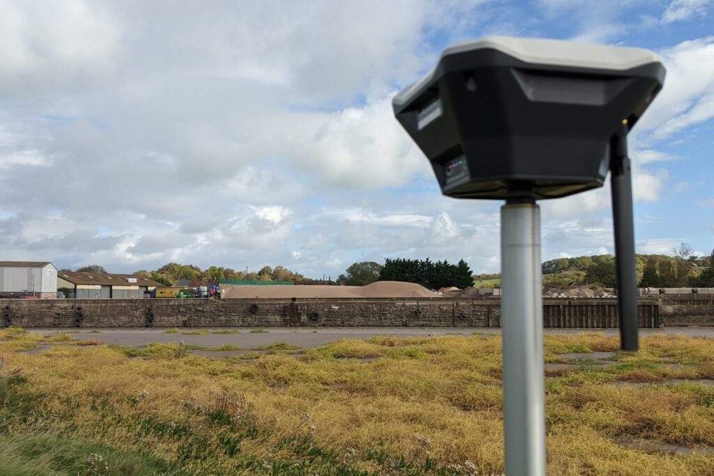
Wynns Transport was contracted to move a 150 ton transformer to Hinckley C by barge. The usual wharf at Combwich was out of action so the shallower Dunball needed to be used instead to turn the vessel. Traditional ground based topographic surveys would not work in the case of the River Parrett at this location because of the inaccessible mud. Out team was able to help by using high resolution mapping from drone surveys, combined with ground-based GNSS GPS measurements to accurately location the map to the wharf datum.
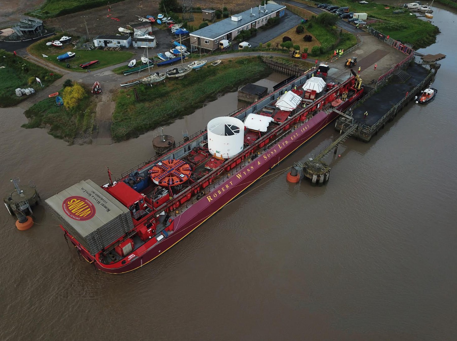
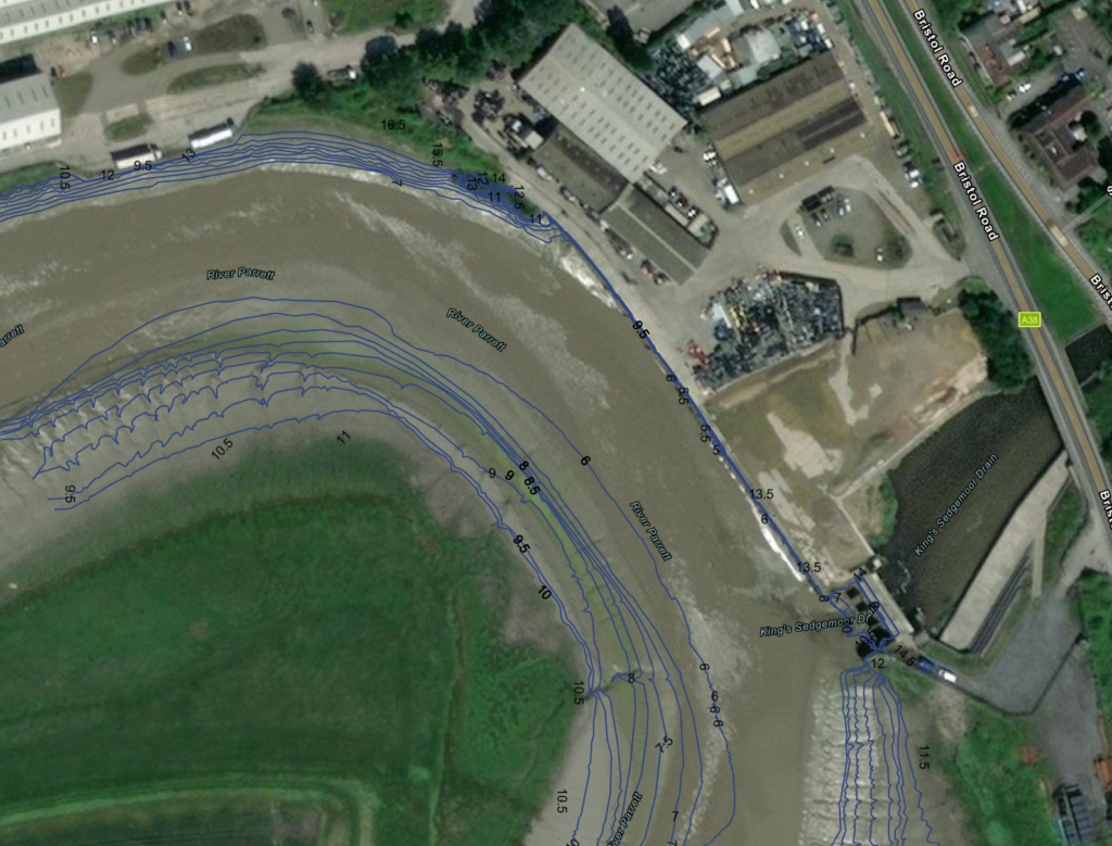
Our team used the drone data to create several photogrammetry outputs, including digital surface models (DSM) and digital terrain models (DTMs). This data, combined with the high resolution "orthophoto" was then worked up in GIS software to create the agreed client outputs. These included mm accurate profiles of the river bed and cross sections viewable online and ready for CAD. We also provided simplified bathymetry contour lines (dxf files) so that water depths could be accurately estimated using tide data. This allowed the team from Wynns to make decisions as to the best places to turn the 80m Terra Marque carrying the transformer ready for the new Hinckley C power station upgrade.
Wynns are the UK’s leading consulting engineers specialising in the transportation of abnormal indivisible loads. With a 150 year history, Wynns is a well-respected name in the heavy transport industry.