

Elgin Energy chose to work with us as a trusted supplier of data for sites which have potential in terms of the development of new renewable energies. Collection of high-quality, and high-accuracy drone photogrammetry data requires careful planning and assurances around quality, especially on large sites over 100 ha. We worked with Elgin Energy to establish a workflow and data capture system which allowed them to remotely process the data, including the incorporation of our highly-accurate GCPs (Ground Control Points) which are essential for data checking. The resulting outputs, including digital surface models (DTMs) and digital terrain models (DSMs) were used as part of the initial site assessment and validation.

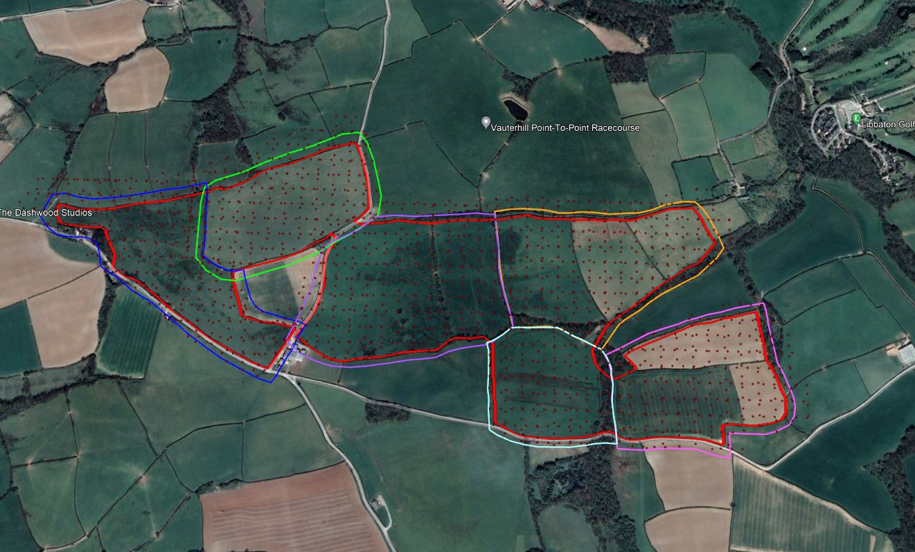
Drone mapping is as much art as it is science. For large sites, it requires thorough planning to break the site down into manageable blocks that can be flown in 30-40 minutes. Google Earth Pro is used to create boundary files (kml) which are then uploaded to the drone for its automated flight. This includes a 50m site buffer. Positions are also established for GCPs with approximately 5 locations per block. On atypical day our team can fly up to 100 ha, and generate outputs to within a few cm accuracies over the entire site. We have used this approach for 1000's of ha of sites, all over the UK, for Elgin Energy
Elgin Energy is a full-service, utility scale, solar+storage developer bringing projects from origination through development. The company has a portfolio of projects in late-stage development totalling 6GW solar + 3GW storage across our three key markets of the UK, Australia, and Ireland.
